


Arqueología
UNA ENCRUCIJADA DE CAMINOS Y LA MARCACIÓN DEL TERRITORIO, GRABADOS RUPESTRES EN EL ALTO DE LA GUITARRA, VALLE DE MOCHE, PERÚ
María Susana Barrau y Daniel Castillo Benítez
CONDICIONES DE SITIO Y POSICIÓN: LA ENCRUCIJADA
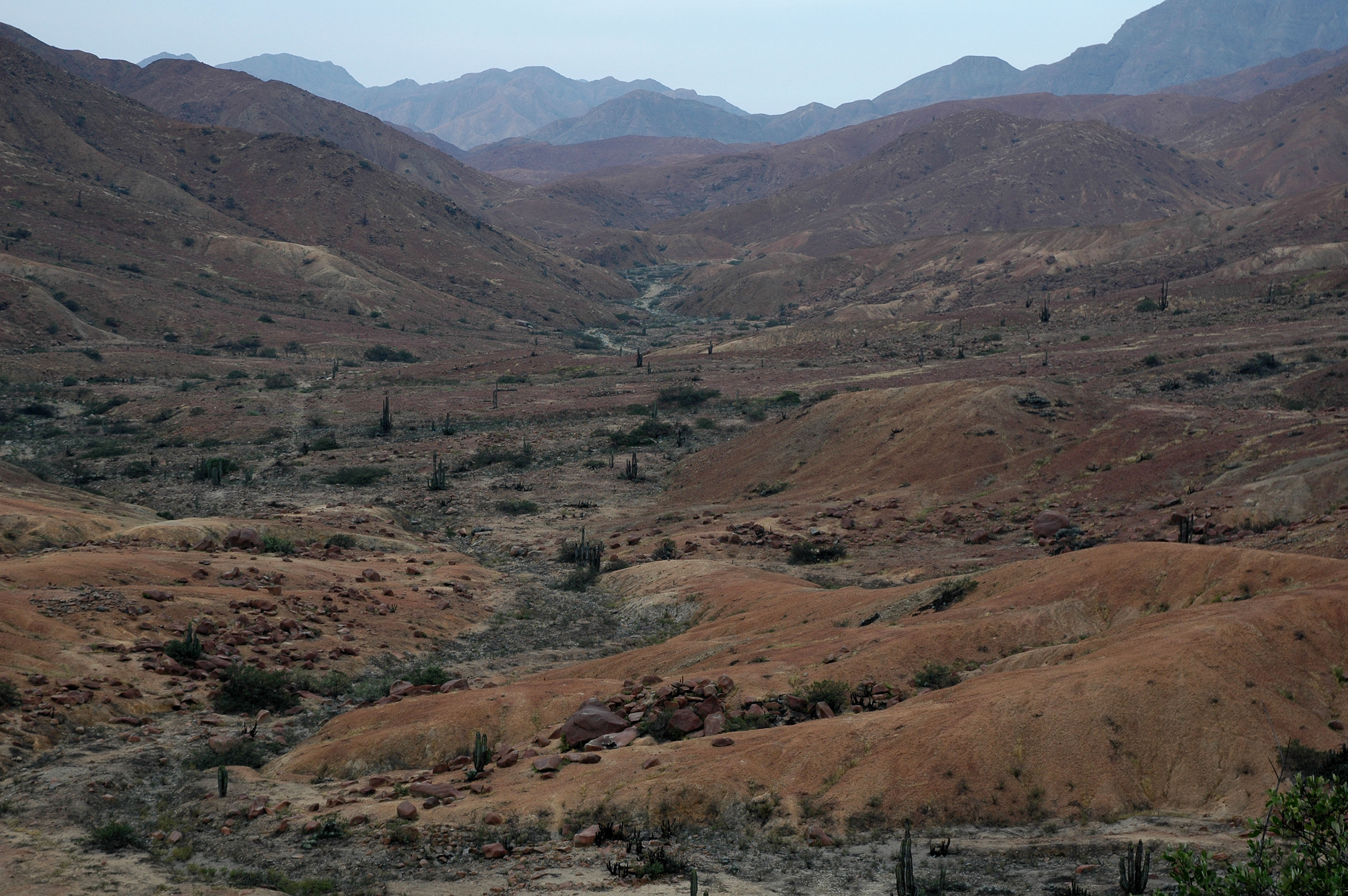
El sitio arqueológico Alto de la Guitarra está ubicado en la costa norte peruana, en la divisoria de aguas de las cuencas de los ríos Moche y Virú, en las coordenadas 9099028 norte y 0740343 este, a una altitud promedio de 827 msnm (figura 1). Este ámbito pertenece a la unidad de valles y quebradas tributarias del flanco occidental de los Andes, presenta una formación ecológica Matorral Desértico Pre-Montano, un clima árido y semi cálido, con gran amplitud térmica, precipitaciones que fluctúan entre 50 y 200 mm anuales y vientos predominantes del sector sur (ONERS, 1973).
Archeology
A CROSSROAD OF PATHS AND THE MARKING OF THE TERRITORY, ROCK ENGRAVINGS IN THE ALTO DE LA GUITARRA, MOCHE VALLEY, PERU
María Susana Barrau and Daniel Castillo Benítez
SITE AND POSITION CONDITIONS: THE CROSSROADS
The Alto de la Guitarra archaeological site is located on the Peruvian north coast, at the watershed of the Moche and Virú river basins, at coordinates 9099028 north and 0740343 east, at an average altitude of 827 meters above sea level (figure 1). This area belongs to the unit of valleys and ravines of the western flank of the Andes, it presents an Pre-Montane Desert Scrub ecological formation, an arid and semi-warm climate, with great thermal amplitude, rainfalls that fluctuate between 50 and 200 mm annually and prevailing winds from the southern sector (ONERS, 1973).


